GIS Data visualisation and analysis

GIS Data visualisation and analysis
GIS Data visualisation and analysis
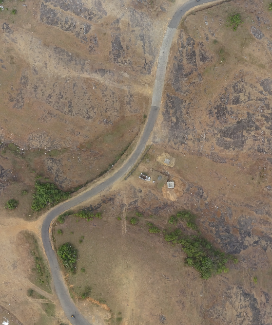
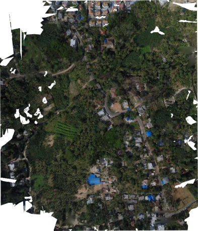
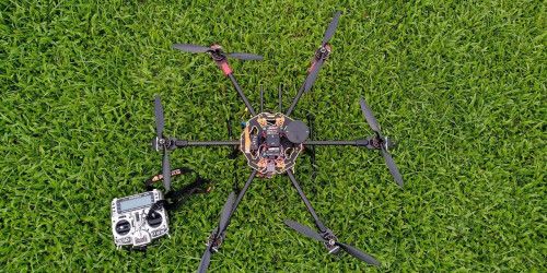
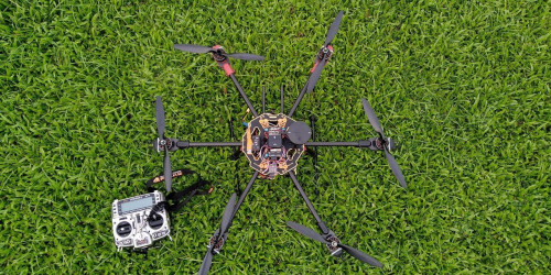
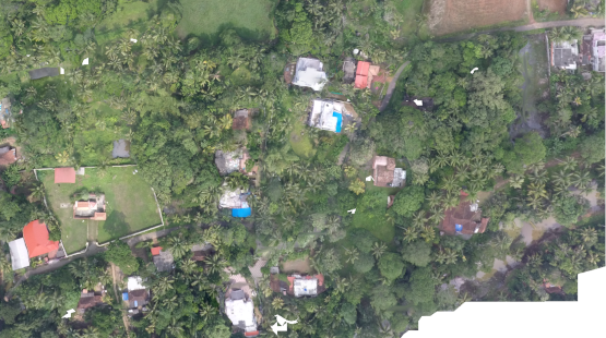
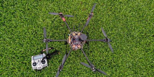
The present scenario of 3D modelling at high resolution is that the data sets or its applications are not open to the public and is highly commercialized. Although private organizations in India and abroad focuses on image based and range based techniques using drone technology for various applications like urban planning, hazard studies,hydrology etc, the use of such technologies in our state is limited. ICFOSS’s interest in Drone started with OpenDroneMap project which use photogrammetry techniques to generate orthophoto and DEM. We organized a 3-day workshop on Drone Mapping with the leadership of Mr. Stephen Mather, GIS Manager, Cleveland Metroparks, US and Mr. Frederick Mbuya, Managing Director Uhuru Labs & Consultant -World Bank; The workshop was handled by which covered drone technologies and photo reconstruction for aerial mapping.These products and 3D models can be used for meaningful spatial analysis such as surveying, monitoring, damage assessment, etc.
Express Interest


