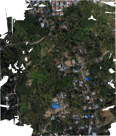
3D modelling and mapping at Karakulam Grama Panchayath

GIS Mapping & Drone Technology
3D modelling and mapping at Karakulam Grama Panchayath
Objective of mapping was to identify the potential of RGB based photogrammetry in the field of watershed analysis and agriculture. The research was carried out at places with higher slope gradient inorder to identify and demarcate watershed basins and stream channels.Mapped 10 acres of watershed basin at karakulam with Tarot Hexacopter,DJI mavic & 3DR solo quadcopter.The obtained images were geotagged with inhouse scripts and tools and further processed in ODM platform. The 3D model generated was further processed for agricultural planning with sunlight-shadow simulation considering the slope and azimuth of the region using Blender.
- tags:
- Share This

