Mapping Canal System within Thrissur Kole Wetlands

GIS Mapping & Drone Technology
Mapping Canal System within Thrissur Kole Wetlands
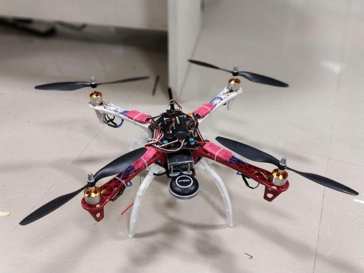
Canal system connecting Bharathapuzha and Chalakudy river is the major water resource for paddy fields at Thrissur Kole Wetlands having area around 13000 hectares from where 40% of the rice requirement of Kerala is met. The project was proposed to estimate the total water holding capacity of the canal system to stipulate the required cultivation for corresponding seasons to maximise the yield. Approximate measurement of water holding capacity was calculated using detailed survey on field as well as using UAV maps. An area estimate of 4226 hectares was mapped using UAVs.The project was a success and a good example of application of drone technology for planning and development in agro industry.
- tags:
- Share This

